Summer Is For Hiking: Tanbark Trail, Big Sur area, Ventana Wilderness on June 16, 2012
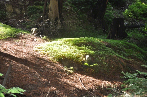
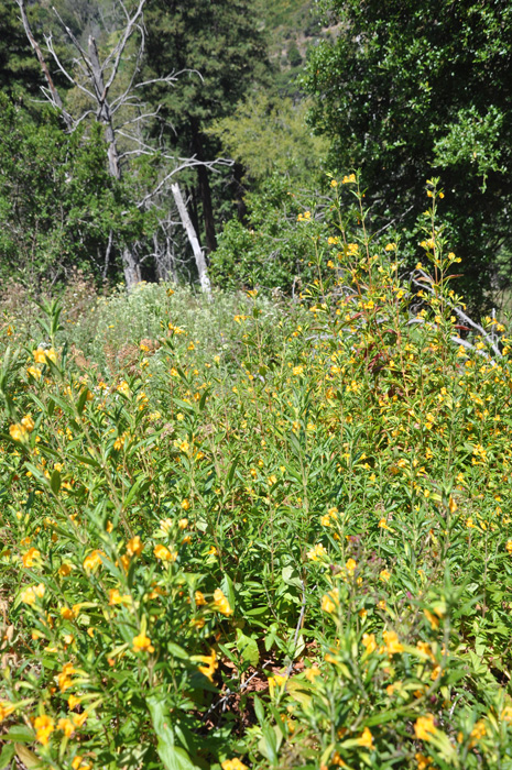
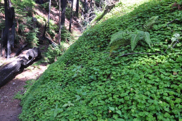
Mounds of Clover, lower section of Tanbark Trail, Big Sur Area/ Ventana Wilderness on June 16 2012, kathryn arnold
Summer Is For Hiking
On June 16 2012, after stopping at the ranger’s station near Big Sur to inquire which trails were closed and after discovering Edwoldsen was still closed, and since Tanbark trail was recommended we got a late start (11:30 AM) up the trail.
The trailhead is on the land side of highway 1 across from Partington Cove. http://www.hikinginbigsur.com/hikemap.html
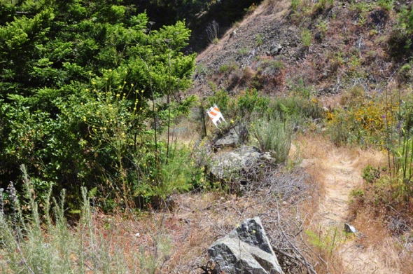
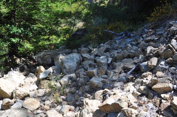
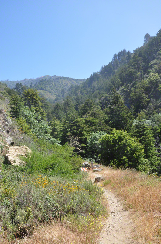
We first encountered a choice – to either hike on the right side of the creek or the left side. We selected the right side first but after scrambling through 2 rock slides and heavy brush determined to try out the left side of the creek.
Below is an image of one of the rock slides.
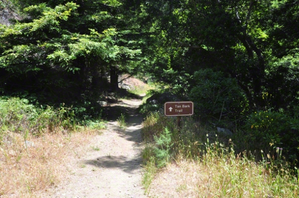
Instead select the trail to the left side of the creek.
This comes along with a clear sign designating the way.
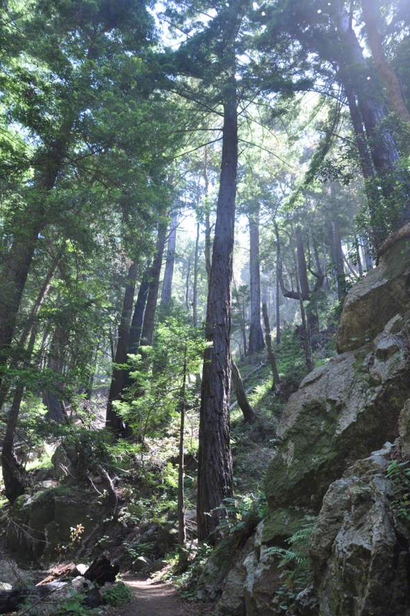
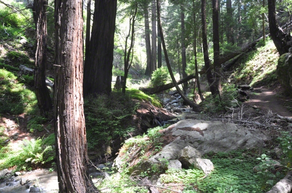
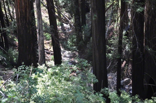
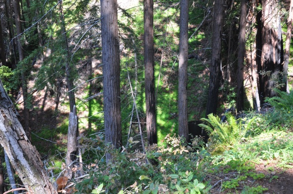
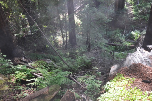
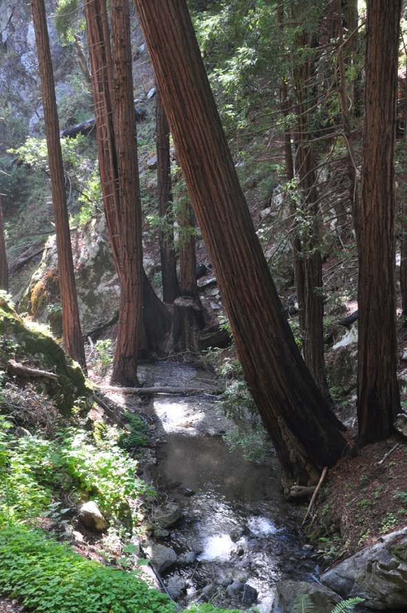
Beautiful redwoods, clover, ferns dot the path along the creek transcending the hillsides. Little did we know that it would not remain as cool at the top as it was at the base – had we known we would have begun much earlier in the day with more water.
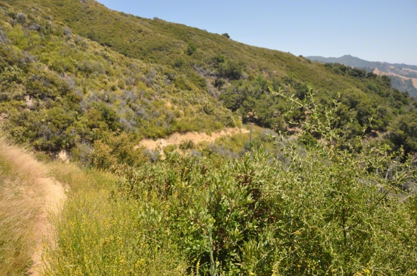
Above and below are sample images of the surrounding landscape.
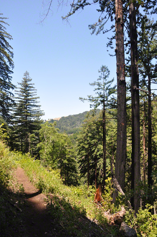
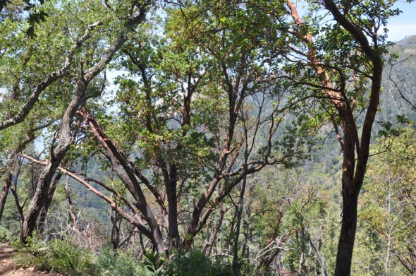
Looking up there is indication of the 3.2 climb of 1400 feet which is attained through a variety of switchbacks through redwood forests and then later groves of what must be Tanbark Oaks. From what I have read, the tanbark oak is more like an evergreen beech tree.
The trail meanders upward through alternating full sun and shaded areas.
There are wildflowers at everyturn as we hit the full sun sections of the trail which are filled with nonaggressive bees. Many times the flowers spread into the trail. The variety of flowers is quite extensive.
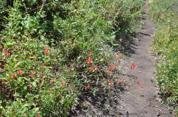
Columbines also fill the hillsides. Here is one that was close to the trail.
Continuing upwards for awhile now. The trail back down will also be somewhat steep.
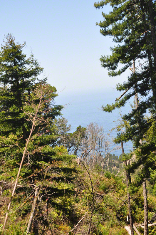
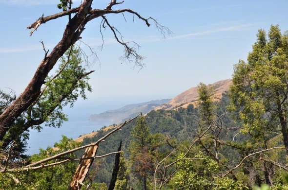
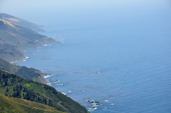
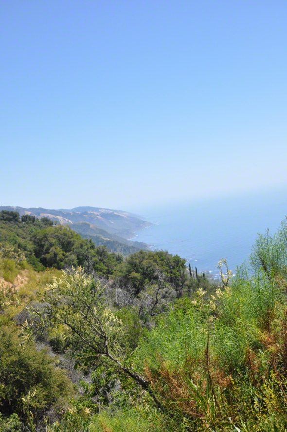
Along the upward journey, views of the ocean begin to appear.
With each view we felt we must be almost there…but not!
Below is a photo of what may be the Tanbark oaks. The bark has peeled off many of them.
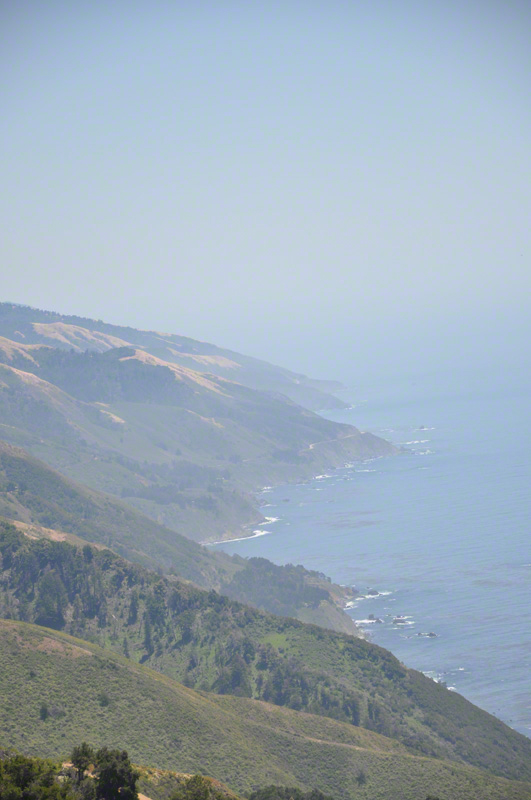
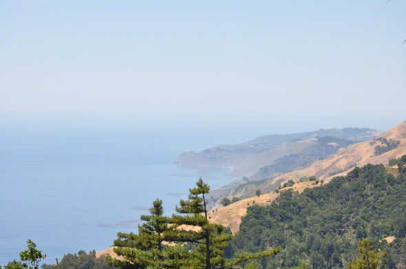
At the top the view is outstanding – one can see forever, it seems.
We may have missed the actual Tin House. Some fellow hikers were up there as well and they also did not know where it was. We did locate a large pile of rusted tin on the ground and assumed this was it. Since returning – I looked online and see actual images of a house.
The coastline is breathtaking.
The ranger had spoken to us about this Connector trail – it leads to an overlook of Edwoldsen Canyon and then if you wish, you could hike down. He warned of downed trees.
So this image displays a grand view of the Connector trail. There is a sign that directs you to traverse to the left to journey on.
Up at the top one has multiple decisions to make. One can head down using the road and then walk a mile back to the Partington turnout. We opted not as walking on Highway 1 felt precarious and journeyed back down the way we came up.
The sun had shifted and we arrived at the base by 5 PM.
The lighting took on a mesmerizing quality and as we entered the redwoods once again, it is as if someone had turned on the AC.
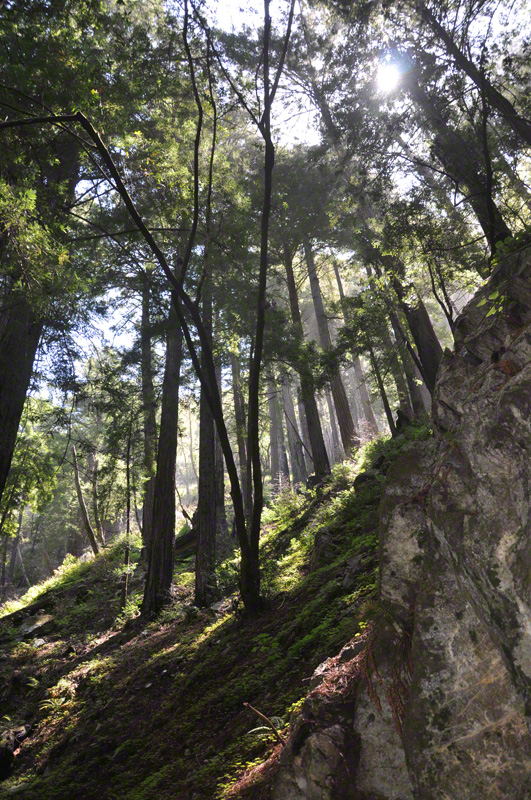
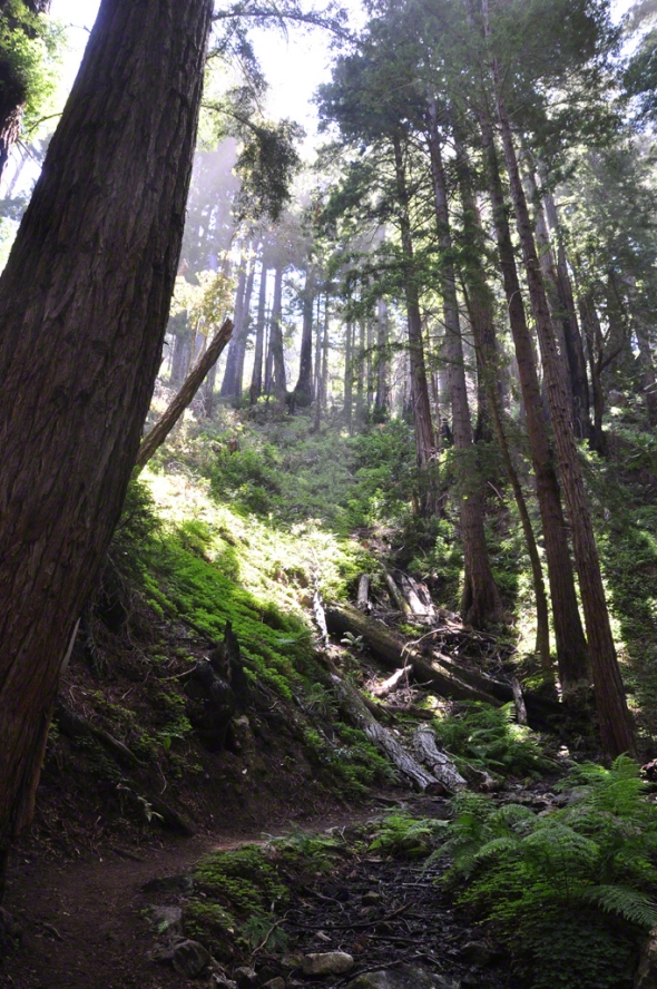
These are some photographs taken in the late afternoon.
And here are some more.
And here is another.
June 17, 2012 | Categories: 2012 Summer is for Hiking, Big Sur, California, Tanbark Trail, Ventana Wilderness | Leave a comment
